Details:
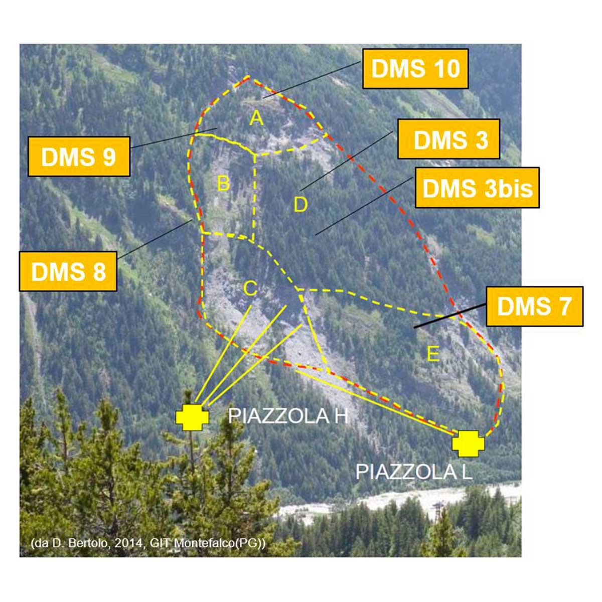
The Mont de La Saxe rockslide covers a large portion of the SW side of the Mont de La Saxe in the municipality of Courmayeur. From surveys and monitorings, from geological studies and numerical modeling, various collapse scenarios have been identified that can be associated with different rockslide bodies, with estimated volumes ranging from 400.000 m³ to 8,3 million m³ in the event of total collapse. The rockslide could affect the settlements of Entrèves and La Palud, fractions of the Municipality of Courmayeur with over 2000 people present in the periods of greatest tourist attendance, the access link to the Mont Blanc Tunnel, international connection between Italy and France, the access road to Val Ferret as well as the Dora di Ferret river, with potential formation of a rockslide lake.
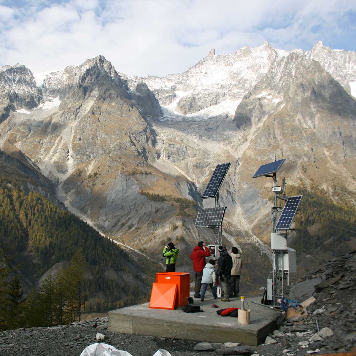
In order to continuously and in real time monitor the various areas of the rockslide body, 10 DMS 2D Slide columns were installed in more times: in 2010 a DMS column of 80 m length instrumented in the lower part between 68 and 80 m bgl, in 2011 three DMS columns with lengths ranging from 80 to 110 m fully instrumented, in 2013 five columns with lengths between 67 and 110 m fully instrumented and in 2015 a column 72 m long fully instrumented.
Geotechnical monitoring is integrated into the early warning system including also surface instrumentation and has supported regional technicians during the emergence phases that occurred in the reactivation events since May 2012. In addition, the data provided by the DMS columns allowed to update and validate the geotechnical models of the rockslide and to verify, by correlating displacements and piezometry detected in the various sectors, the effectiveness of drainage interventions started in 2013.