Details:
The Cassas rockslide is located on the right side of the upper Susa valley, in the municipality of Salbertrand; the area involved in the failure, which develops on the evolution of a deep seated gravitational slope deformation, is of about 500.000 m² with an extimated volume of 10 million m³. In addition to its size, the phenomenon is of great interest due to the presence of infrastructures potentially exposed to risk, such as the A32 Turin-Bardonecchia motorway axis, the Turin-Modane international railway and the national road n. 24 of Monginevro.
Historical data show that the first recorded event occurred in 1728; more recently, a paroxysmal event occurred between 12 and 14 June 1957 following a flood event. Starting from the 90s during the opening phase of the A32, SITAF S.p.A., the managing authority of the motorway, has designed and launched a topographical and geotechnical monitoring system with inclinometer pipes to control the unstable area.
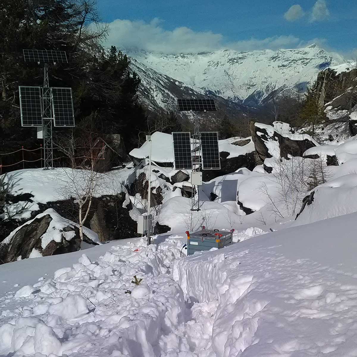
In October 2014, when the I-3 inclinometer placed in the apical sector of the rockslide was no longer possible to be inspected with manual readings, the installation in the diverted hole of a DMS column for the automatic deep control was hypothesized. The DMS column was installed in January 2015 with a helicopter inside the inclinometer pipe, managing to overcome the sliding plane measured at 47 meters bgl up to a depth of 54 meters.
This new installation allowed to go on with deep monitoring, avoiding the drilling of a new probing hole in the winter season. Moreover, the realization of an automatic and remote control of the rockslide has brought a double advantage: it reduce the risk connected to the accessibility of the site for the operators for manual readings and increase the flow of data in the potential critical phases of pre-alerting.
In October 2017, a new DMS column of length L = 40 m was installed to monitor the lower rockslide sector.