Details:
The village of Santa Maria Maddalena di Ripoli, affected by the adaptation of the Apennine crossing between Sasso Marconi and Barberino del Mugello (A1 MI-NA motorway), rests on a slope characterized by deposits of active and quiescent landslides.
During the excavation of the Val di Sambro tunnel, slope movements occurred with the appearance of injuries on some buildings in the inhabited area and in the neighboring hamlets; a continuous monitoring of the stability of the slope and of the cracked state of the buildings was therefore activated, as established in the Operative Protocol referred to Regional Council Resolution DGR no. 1635/2011, aimed at acquiring timely information about the movements of the coverage and the possible progression of the injuries, as well as identifying the necessary measures to be undertaken to guarantee the public safety of the inhabitants. (1)
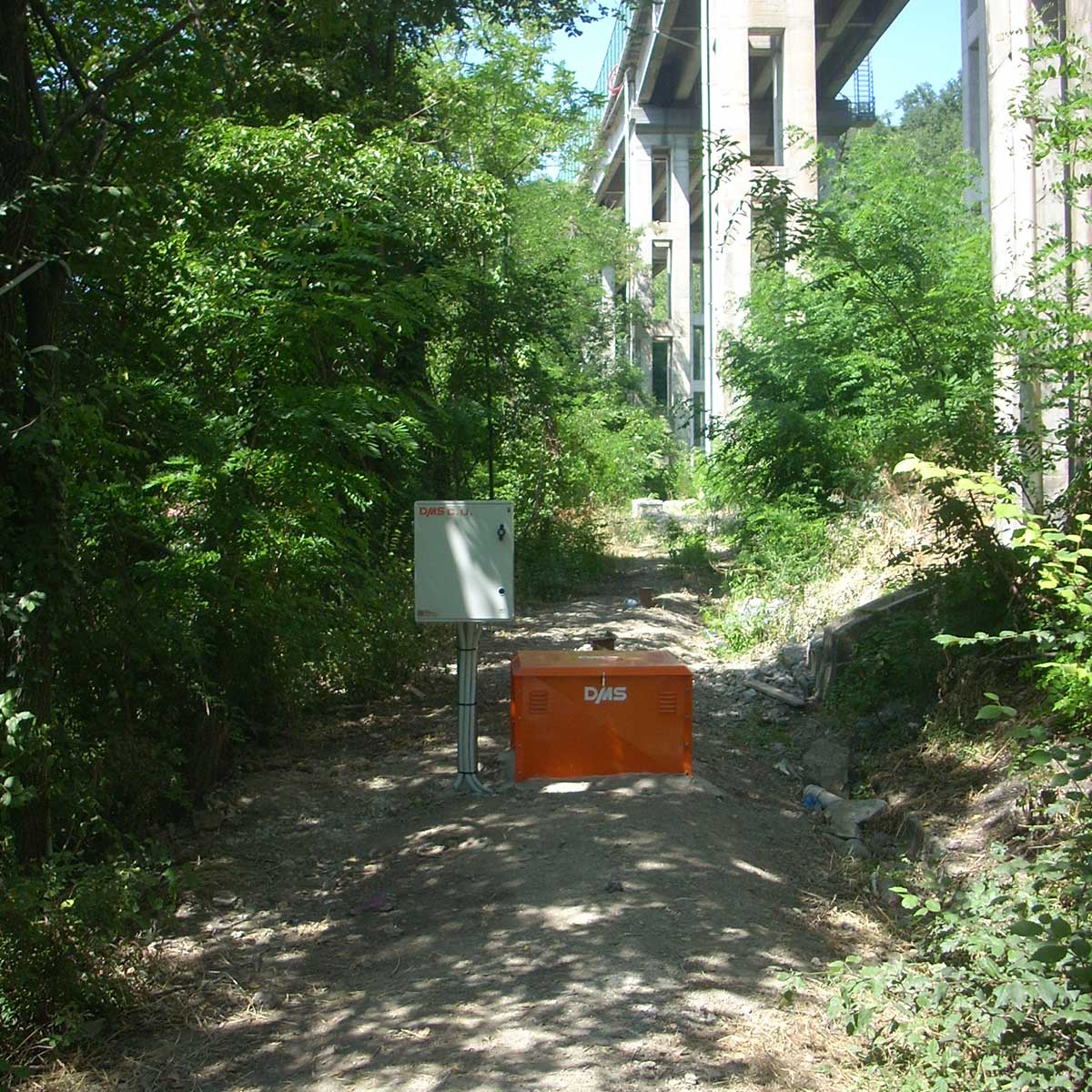
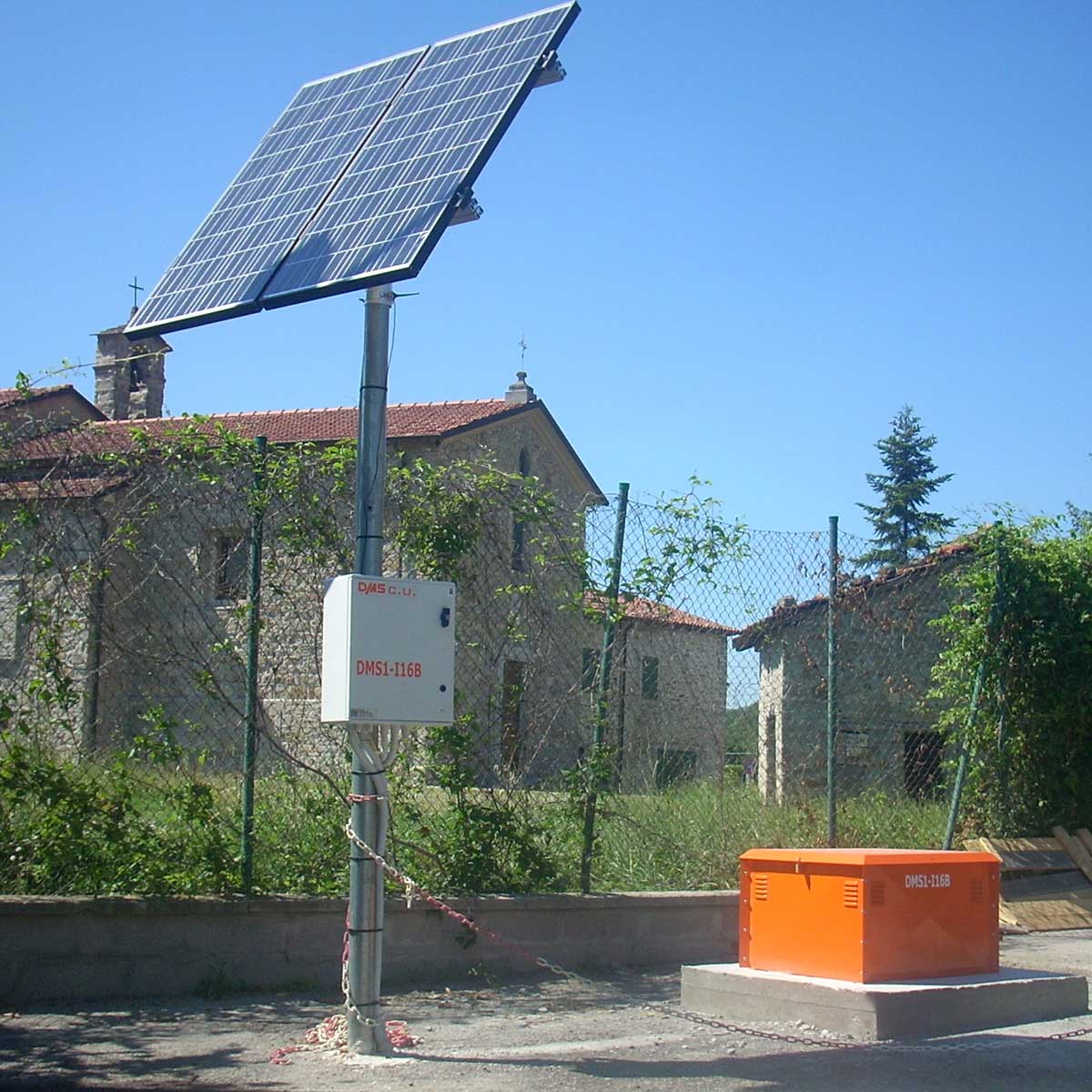
For geotechnical monitoring of the stability of the slope with control of deep movements and ground oscillations, aimed at alerting for the application of the Civil Protection Plans, 14 DMS 2D columns located along the entire slope, of variable lengths from 4 to 100 m with over 725 sensors installed, were installed.
Source: (1) Municipality of San Benedetto Val di Sambro, " Schema di Piano Comunale di Emergenza di Protezione Civile - Santa Maria Maddalena - Ripoli "