Details:
Mount Rocciamelone (3538 m asl), located between the Susa Valley and the Viù Valley (province of Turin) along the Via Francigena, was considered the highest mountain in Italy in the Middle Ages; today is a destination frequented by hikers, pilgrims and agonists of the Red Bull K3 international competition of vertical running.
Part of the South ridge, at an altitude of about 3200 m asl, was affected in 2006-2007 by a rockslide evolved in fall and flow processes that did not cause particular problems from the point of view of risk management for the man-made area downstream. The attention given to this phenomenon is linked to the potential consequences that may occur if larger portions of the slope are mobilized.
Since autumn 2007 Arpa Piemonte has started a geotechnical monitoring network along the southern ridge of the Rocciamelone and since 2013 a thermal monitoring network to verify the relationship between strain and temperature in the rock mass more and more often in relation to the alpine area with climate change and with the permafrost degradation.
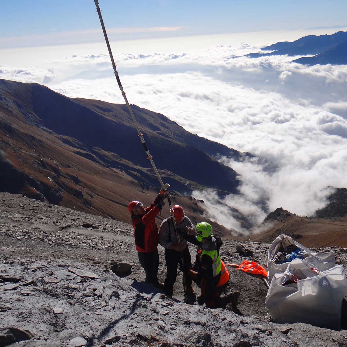
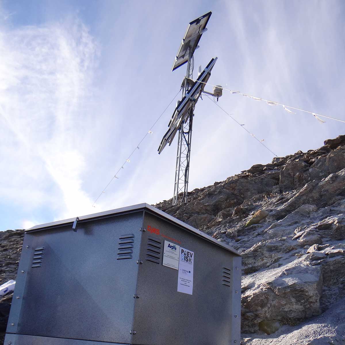
Since 2015, the monitoring network has been integrated by a 30 m long DMS Slope column installed at an altitude of 3150 m asl, equipped with inclinometric and accelerometric sensors; particular attention has also been paid to thermal monitoring by integrating in the column Pt1000 class A thermometric sensors (DIN 60751/95) and Pt100 class 1/3 air temperature sensor (DIN 43760). The monitoring system is equipped with an autonomous photovoltaic system and with a GPRS data transmission system connected to the Arpa Piemonte office in Turin.